
Seeing Beneath the Trees: How LiDAR Mapping Helps Reveal Hidden Features Across Houston Sites
Houston has a lot of wooded properties where thick trees make it hard to see what the ground actually looks like below. LiDAR mapping gives survey teams a clear picture of the land that a site walk can never show. For properties where trees have been covering the ground for years, this data often changes how a project gets planned from the very start.
When the Landscape Tells More Than the Eye Can See
Walking a wooded Houston property gives you a rough idea of the land, but it rarely shows the full story. Thick trees and heavy brush can hide slope changes and water paths that matter a lot when planning begins. What looks flat, even ground from the edge of a lot can actually drop two feet right through the middle of it.
This is why first impressions of a site often mislead people. A property that looks simple from the street might have a dry creek running through the back half, or small slope changes that push rainwater in directions nobody expected. None of this shows up on a quick walkthrough, and old photos from the air won’t catch it either. Seeing what’s really under the tree cover takes tools built to get past the branches and read the ground below.
A Different View of Familiar Ground
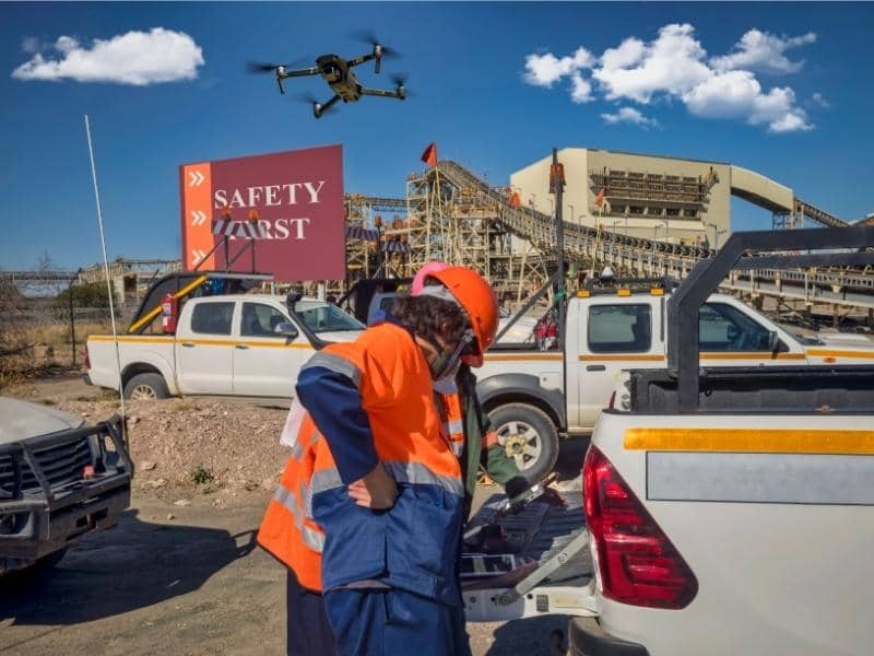
LiDAR mapping sends fast laser pulses from a drone or small plane and records how long each pulse takes to come back. When a pulse hits a tree branch, some of it keeps going and hits the ground below. The system records both hits, so teams can remove the tree data and look at just the ground, often with more detail than a standard survey would give on a large wooded site.
On Houston properties that haven’t been touched in years, this process turns up things nobody knew were there. Old water channels that filled in long ago, small ridges that push water in odd directions, low spots that flood after heavy rain, all of these show up clearly in the data even when the surface gives no sign of them. Owners and project teams who spent years working around guesses sometimes find out those guesses were wrong once they see real ground data for the first time.
Natural Patterns That Influence the Way Land Is Used
The shape of the ground drives decisions more than most people think. A site with smooth, gentle slopes drains water very differently than one with uneven ground all over it, and those differences affect where buildings can go and how roads get laid out. On a wooded Houston property, none of that is easy to figure out without data that gets past the trees and reads the actual ground.
Water drainage matters most here. Water follows the ground, and if the ground has channels or low spots hidden under years of brush, those features will affect any building that goes in, whether anyone planned for them or not. Finding those water paths before design work goes too far lets engineers work with the land instead of fighting problems during construction, and that saves real time and money.
One Site, Many Perspectives
A single Houston property might get looked at by a developer, an engineer, a utility planner, and an environmental team, all at different times and for very different reasons. Each group asks different questions about the same piece of land. LiDAR data supports all of those needs at once because it captures the full ground picture, and each person pulls from it what they need most.
A developer uses the slope data to figure out where grading is needed. An engineer uses it to map how water moves across the land during a storm. A utility planner uses it to find the best path for underground lines. The data stays the same no matter who looks at it, but what each group gets out of it is very different, and that’s a big part of why LiDAR works across so many types of projects.
Understanding the Property Before Making Big Decisions
Big projects start with questions, not answers. Teams need to know what the land can handle, where the problem spots are, and what the ground really looks like under all those trees. Getting clear answers before locking in a design saves time and avoids costly surprises that show up mid-project when changes are much harder to deal with.
LiDAR mapping gives teams a solid starting point by showing what’s actually on the site before any work begins. That early picture lets planners make decisions based on what’s real, not what they guessed. On wooded Houston properties where so much ground is hidden from view, having that data from the start often determines whether a project runs clean or spends months fixing problems that better site data would have caught early on.
Frequently Asked Questions
What makes LiDAR mapping useful on heavily wooded properties?
It sends laser pulses through tree cover and reads the ground below, picking up details that a site walk or old aerial photos can’t catch through thick trees.
Can LiDAR mapping show things that aren’t visible from the ground?
Yes. It picks up water channels, slope changes and low spots that ground-level observation misses, even on sites that have been walked many times.
Who commonly uses LiDAR mapping data?
Developers, engineers, utility planners, environmental teams and property owners all use it, often on the same site but for very different reasons.
Is LiDAR mapping only for large projects?
No. It works on projects of all sizes, especially when heavy tree cover makes a standard site review hard to do accurately.
Why does understanding the ground matter before planning starts?
The shape of the land affects drainage, building placement and road layout, and finding site issues early prevents costly design changes once construction is already running.